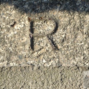
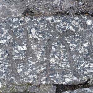
Interesting - I have just found an R - they mark ownership boundaries, where the area around is used by the public. Date from around 1830 or so, usually.
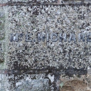
Not that one - South West Power have that one in their tender care until the electricity has been layed and completed, so I was informed. I have record pictures, and I specifically asked and informed them that I would be watching as to what happened to it.
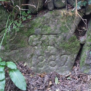
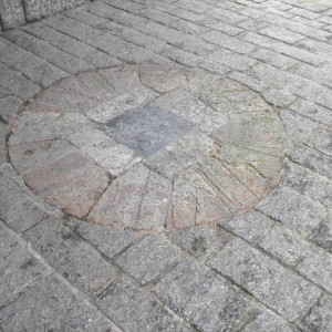
There is supposed to be a Boundary Stone in Heamoor, similar to the one at Trenow. This is not that stone, I am sure. But you would need to go back to the Apportionment Books and Deeds to discover the landowner of that portion of land.